
Salvator Rosa, Carnarvon National Park
Central Highlands Area
About Salvator Rosa, Carnarvon National Park
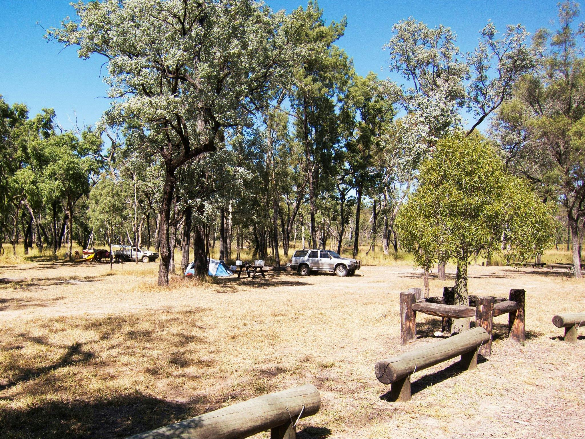
Crystal clear springs add more than ten million litres of water a day to peaceful Louisa Creek and the Nogoa River as they meander beneath a backdrop of rocky sandstone crags and spires in the Salvator Rosa section of Carnarvon National Park. Named by explorer Sir Thomas Mitchell in 1846, Salvator Rosa, a section of Carnarvon National Park, is at the western edge of the Central Queensland Sandstone Belt. The course-grained sandstones of Salvator Rosa are very crumbly. Erosion of the sandstone has left behind many interesting features that dominate the skyline, including Spyglass Peak and the Sentinel. Wildflowers add colour to the landscape in spring. Large white flannel flowers and cream sprays of narrow-leaved logania contrasts with the pink flowers hanging from the shrubby Homoranthu ...
Salvator Rosa, Carnarvon National Park
Central Highlands Area, Queensland
 Salvator Rosa Road, Central Highlands Area, Carnarvon National Park, Queensland, Australia, 4455
Crystal springs feed peaceful Louisa Creek and the Nogoa River as they meander beneath a backdrop of sandstone crags and spires.


Salvator Rosa, Carnarvon National Park
 Salvator Rosa Road, Central Highlands Area, Carnarvon National Park, Queensland, Australia, 4455
 qpws@des.qld.gov.au
-
 https://parks.desi.qld.gov.au/parks/carn...

